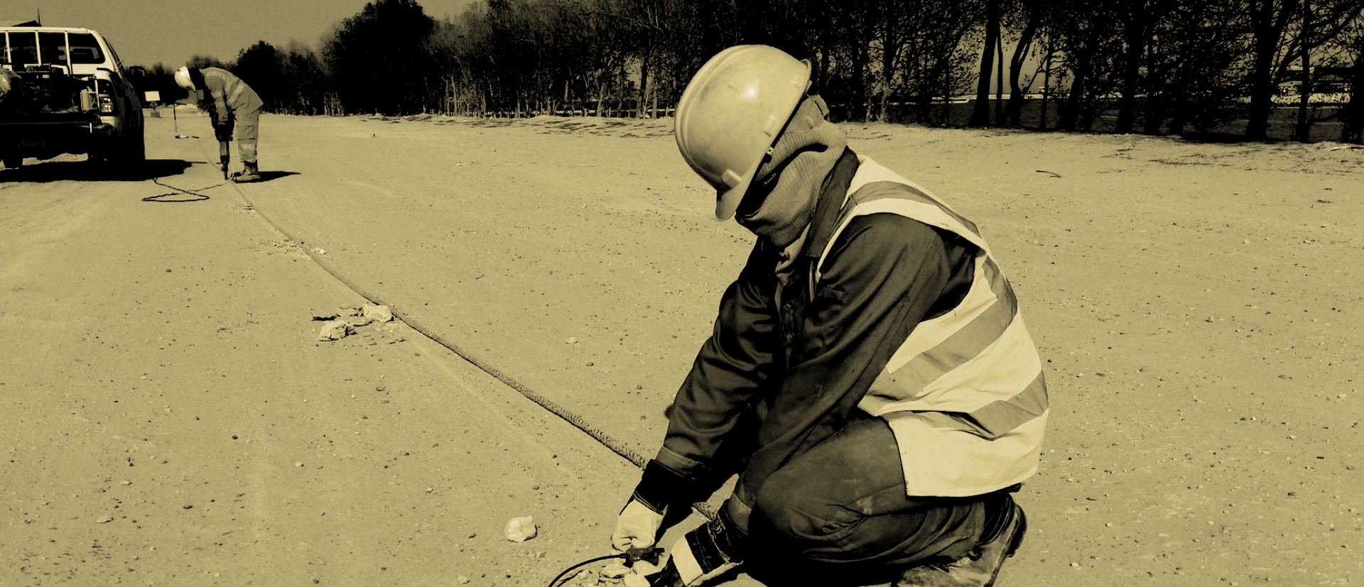
We pride ourselves on our expertise in delivering dependable and precise geophysical lab testing solutions that cater to the unique requirements of our clients.
With our state-of-the-art laboratory facilities, equipped with advanced equipment and technology, we have created an environment conducive to conducting thorough and accurate geophysical testing.
Our team consists of highly skilled and experienced geophysicists and technicians who bring their expertise and knowledge to every project. They are well-versed in the latest methodologies and techniques in geophysical testing and analysis. Their proficiency allows us to ensure the delivery of high-quality results that our clients can rely on.
In our geophysical lab testing services, we employ a wide range of techniques and analyses. These include but are not limited to seismic testing, electrical resistivity testing, ground-penetrating radar (GPR), magnetic surveying, gravity surveys, and vibration monitoring. Each technique offers valuable insights into subsurface characteristics, geological structures, groundwater flow patterns, and potential hazards.
Surface geo Physics includes

MASW is used for highlighting the areas of anomalous response associated with adverse subsurface conditions that may contain cavities or karst structures, soft material and soil. Our multi-geode system, which consist of land streamers with various geophone spacing and various in-house seismic sources, offers a highly customizable solution to meet any project requirement.
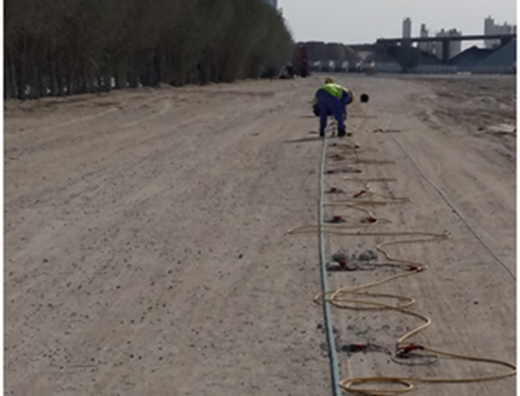
Seismic Refraction is extensively used for mapping subsurface geologic conditions including depth to bedrock, water table, stratigraphy, lithology and structure or all of these. Our technical team is well equipped to do P-wave refraction to cater different project requirement.
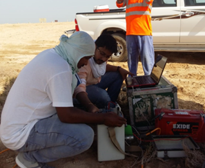
ERT is used to map geologic features such as lithology, structure, fractures, and stratigraphy; hydrologic features such as depth to water table, depth to aquitard, and groundwater salinity; and to delineate groundwater contaminants. We are experienced in performing ERT in a variety of challenging environments, ranging from inter-tidal zones to arid and sandy terrains.
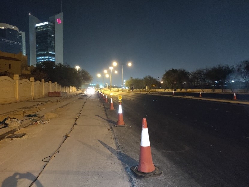
he ReMi method is a seismic surface wave method that uses ambient noise and surface waves. Since it thrives in noisy environments the ReMi method is ideal for shear wave profiling in urban environments where seismic refraction is precluded because of large amounts of ambient noise. We have expertise to conduct the survey in urban areas with proper traffic management.
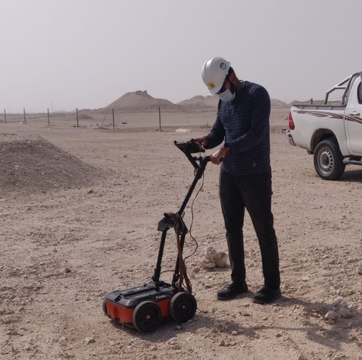
GPR is used for highlighting the adverse condition in shallow depth and mainly for utility detection. We have expertise in utility detection and archaeological mapping using our highly portable GPR system.
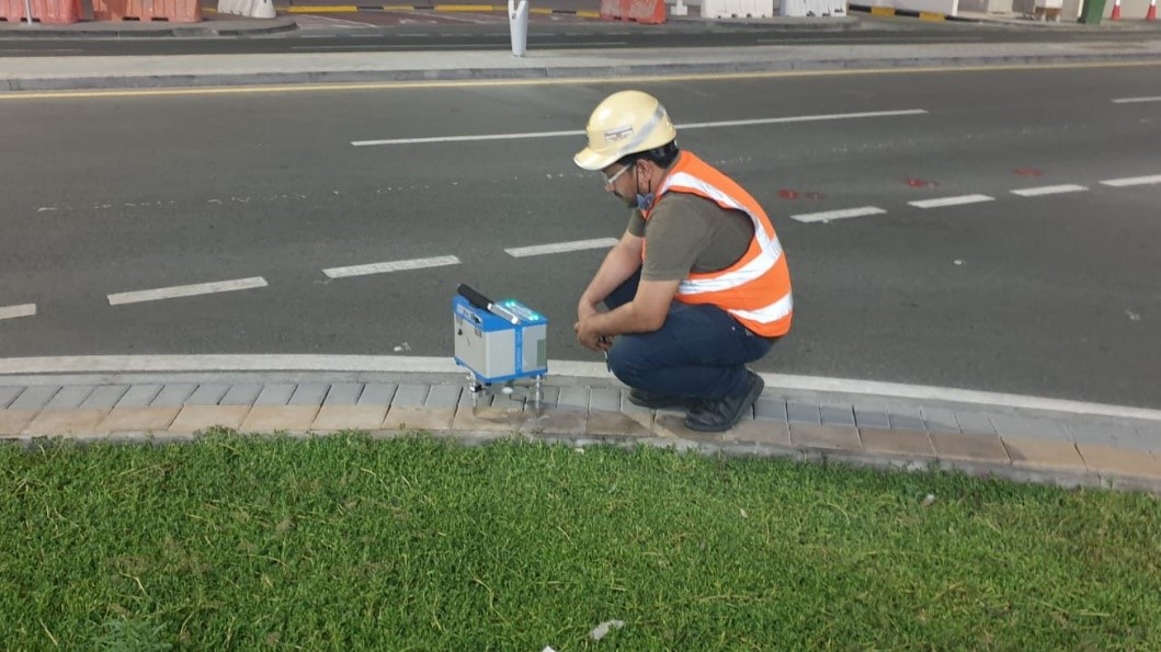
Microgravity surveying is a geophysical mapping technique that detects areas of contrasting density by measuring localized variations in the Earth's gravitational field. Our technical team is able to map the density contrast, detect weak zones, predict cavities and also provide a more complete picture of the subsurface by using microgravity in conjunction with other geophysical techniques.
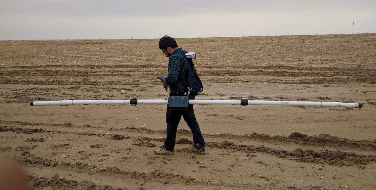
EM instruments are commonly used during environmental investigations to measure the ground conductivity. Our expert team is experienced of mapping ground conductivity for environmental and archaeological purposes.
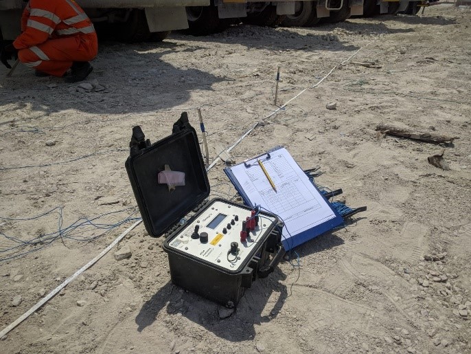
A Vertical electrical sounding (VES) is a 1D resistivity method for investigation of a geological medium, based on the estimation of the electrical resistivity. We are experienced in performing VES with different configurations and provide information of the subsurface and corrosivity index especially in plants.
Borehole geo Physics includes
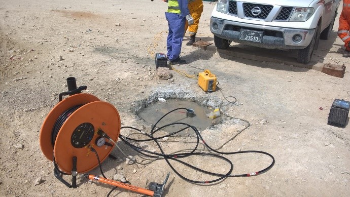
Downhole Seismic is used for 1D profiling of p and s wave velocity in cased borehole with annular grout. From downhole results we can extract the engineering parameters. Our experts can compute the dynamic elastic moduli of the terrain by measuring the velocity of the primary and secondary waves along the borehole of up to 100m depth.
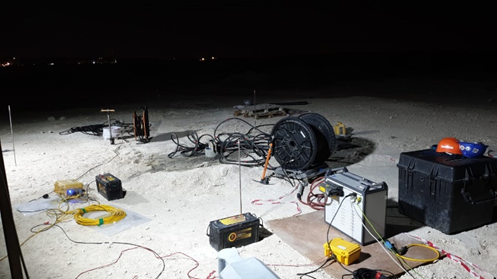
Crosshole seismic is used for 1D profiling of velocity in set of two or three boreholes for precise assessment of different engineering parameters. Our experts can compute the dynamic elastic moduli of the terrain by measuring the velocity of the primary and secondary waves along the borehole of up to 100m depth and also detect the existence of zones with "velocity anomalies" between boreholes.
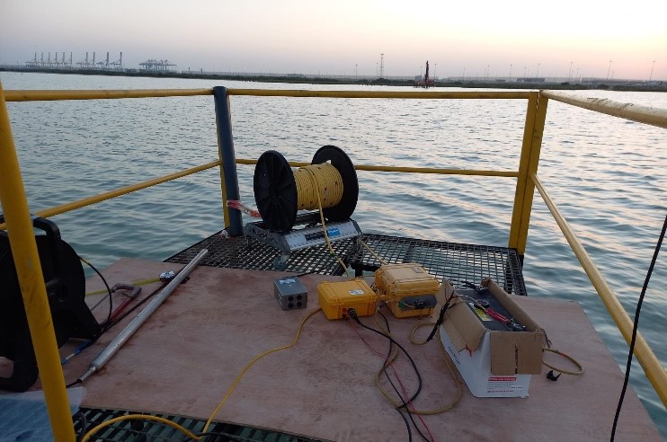
Crosshole tomography is done by using one borehole as receiver and other as source borehole. Our team is able to image the lithology variation, extension of cavity or weak zone and to assess the presence of cement or grout material between two boreholes.

Borehole video log is used to view the well construction, lithology and fractures, water level, cascading water from above the water level, and changes in borehole water quality. We provide video files with alternating images of side view and bottom view of the borehole lithology up to 100m.
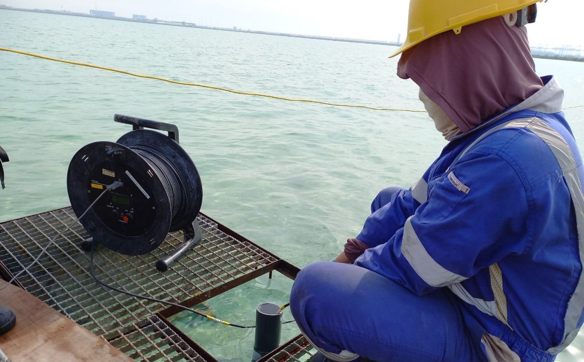
Deviation probe uses a three-axis magnetometer and a dual tilt sensor to provide azimuth and inclination of the borehole respectively. We use this data to provide the geometry of the borehole.
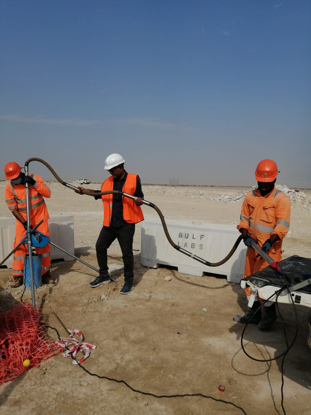
The PS logging system consists of a seismic source and two receivers built into a single probe. Our experts use PS Suspension logger to measure both the P and S waves velocities in water-filled borehole by using a piezoelectric source attached at the bottom of the tool. By using P and S wave velocities, other elastic moduli could be derived for the engineering designing purposes.
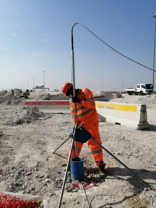
Various types of logging probes are used in borehole for different purposes i.e., diameter of borehole, natural gamma ray, fractures with orientation and borehole condition, different electrical parameters, temperature and conductivity of water etc. We are equipped to provide any engineering parameters for various applications and provide better geological analysis by combining our various tools based on project requirement up to 1000m (subject to pressure limitations of the tools)
Marine geo Physics includes

Bathymetry is the study of the underwater depths of lakes and oceans. Bathymetry is the underwater equivalent of hypsometry or topography. We provide both Single beam echo sounder and Multi beam echo sounder services.
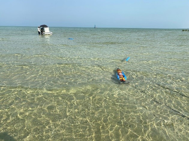
A marine magnetic survey is the measurement of the Earth's magnetic field along a series of profiles over an area of interest. Our experts identify magnetic anomalies by analysing deviations in the observed magnetic field from the predicted regional magnetic field, and detect ferrous material on the seafloor.
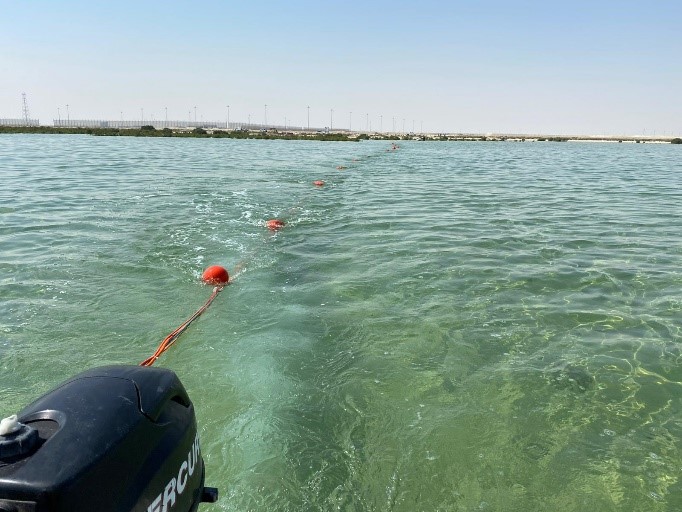
The Electrical Resistivity Tomography (ERT) method is one of the longest-established techniques for geophysical investigations. The basis of the method is that current is injected into the ground through electrodes, a resulting potential is measured which allows for the calculation of resistivity. Electrical resistivity tomography is one of the techniques available for studying freshwater and saltwater aquifers. We use ERT to provide a common image of the freshwater/saltwater interface, which can be used to manage coastal aquifers.
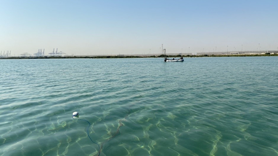
Marine seismic refraction is performed for hydroelectric and engineering projects to determine the depth to competent bedrock and to identify fracture or shear zones. Our technical team is experienced in analysing the refraction data and correlate with other geotechnical and /or geophysical data as required by the project.
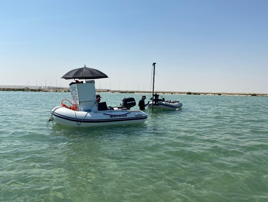
The MASW is a seismic method used to evaluate the shear-wave velocities of subsurface materials through the analysis of the dispersive properties of Rayleigh waves. Our experts identify the areas of anomalous response associated with adverse subsurface conditions that may contain cavities or karstic features, soft material and soil.
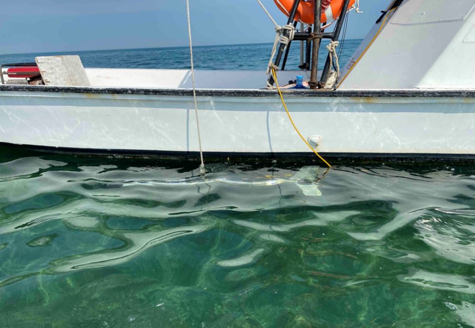
A side scan sonar creates an image of the sea floor by using high-frequency sound pulses that are reflected off the sea floor. Our technical team have expertise in delineating naturally occurring and man-made sea floor features, Assessing environmental considerations for marine geology resource management and environmental management.